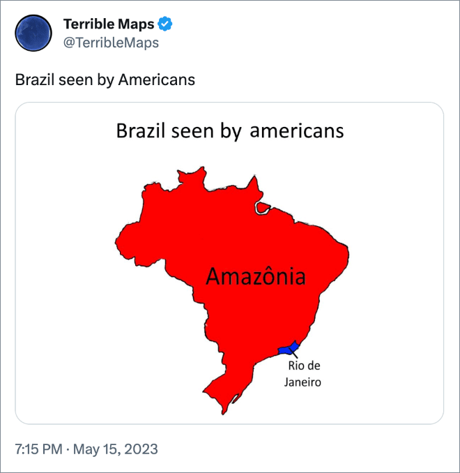
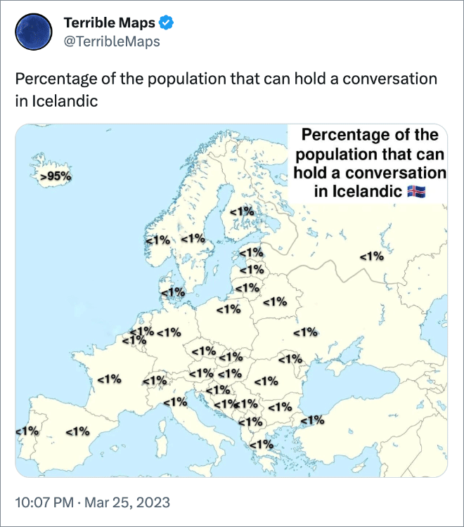
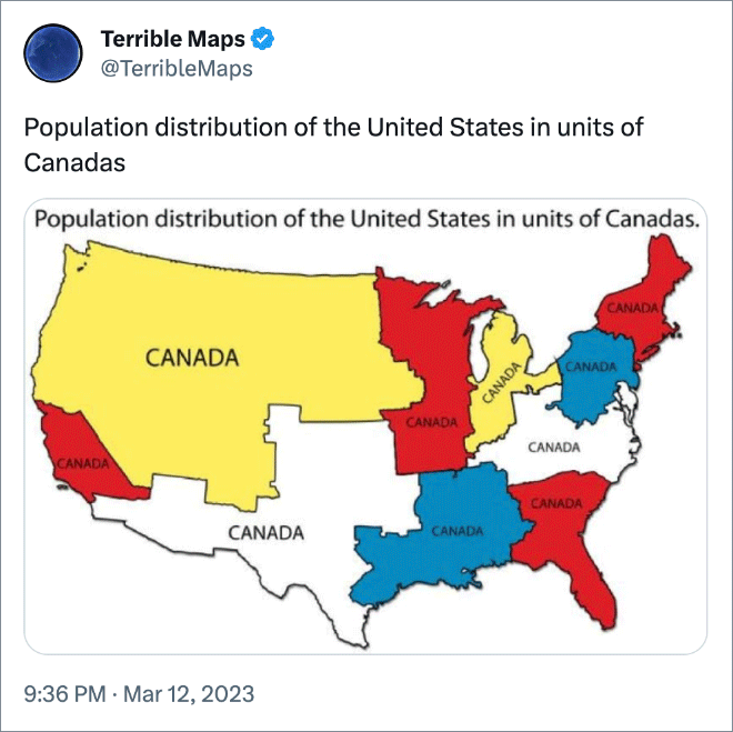
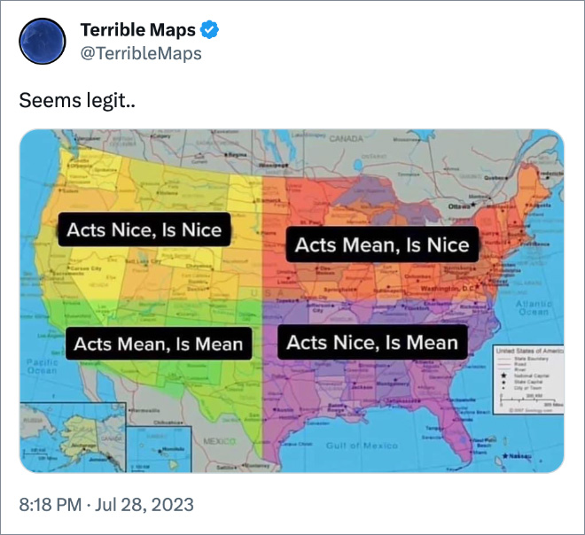
Maps are very useful… usually. However, @TerribleMaps Twitter account proves that not all maps are created equal. Some are downright terrible. Scroll down to see the best examples of hilariously pointless maps and don’t forget to also check out Part 1!
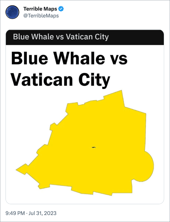
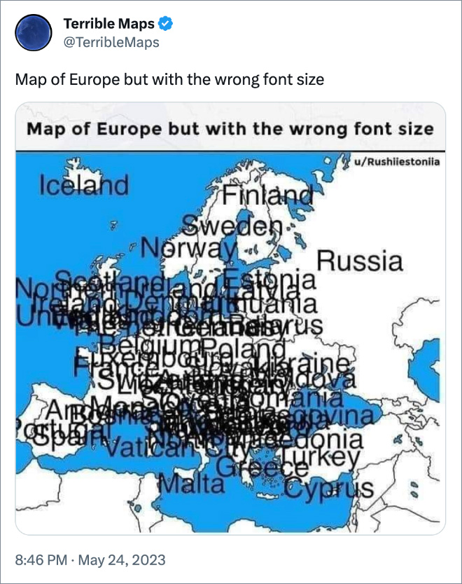


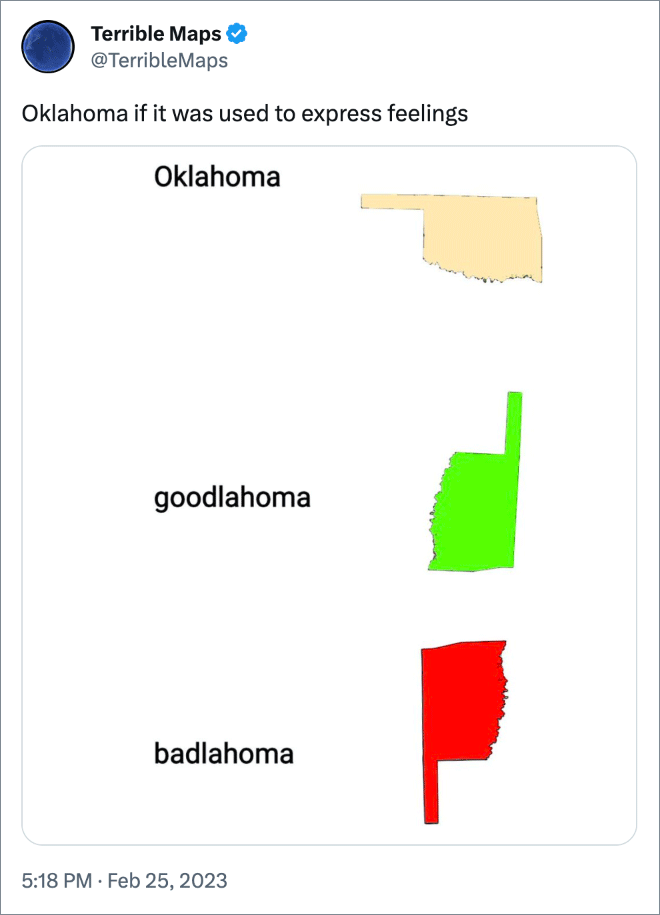
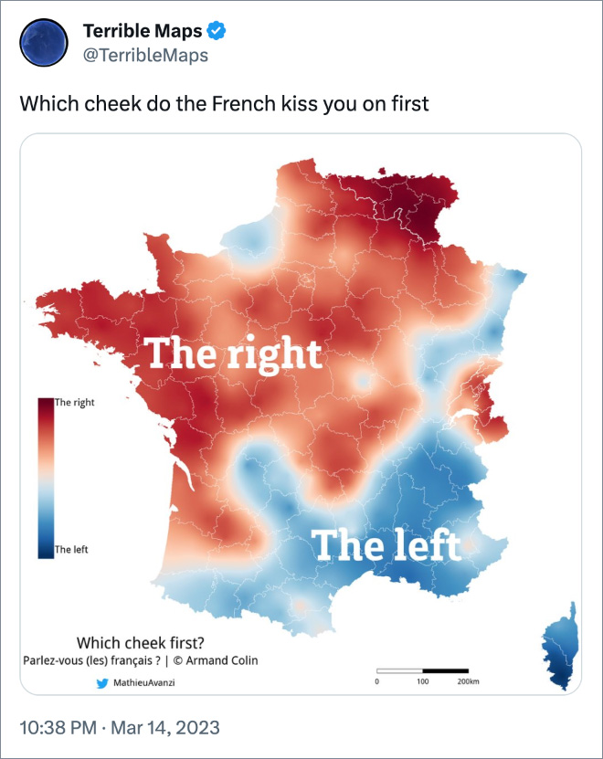



If you enjoyed these terrible maps, don’t forget to also check out Part 1!


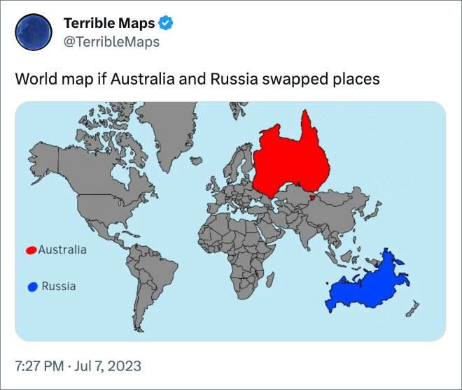
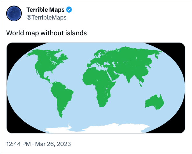
World map without islands is wrong, dumbass. Australia is the world’s largest island so shouldn’t be there.
Pretty sure Australia is a continent.
Australia is a continent. Just as Antarctica is a continent. Both surrounded by an ocean. Just like North and South America is not a bigger island though surrounded by water.
Australia isn’t real. I mean seriously. A platypus!
Can’t believe you fell for that
Ummm, akshully.
By your logic everything is just a big island.
Nerds…
Omã, aquele moço báteu-mi… deu-me um pontapé…
etc.
A continent is defined geologically as the largest landmass of a particular plate that is not simply an extension of oceanic crust. That’s true for Australia. Australia is a continent. It also makes Greenland and Hawaii islands. Wikipedia has an article that will bore you to tears.
Australia is the biggest Island in the world LOL
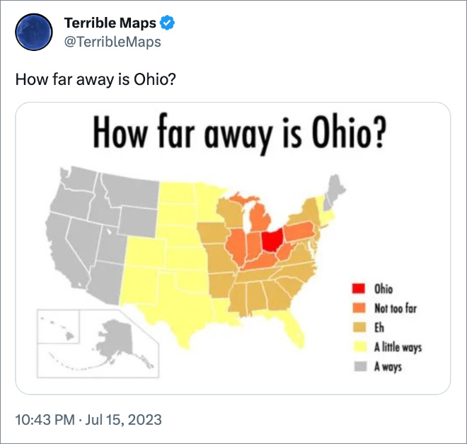
Ohio
Only in Ohio oooh 💀💀💀
Ohio